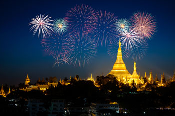
Yangon (Main City)
Yangon Situated on the banks of the Yangon River, it is a busy administrative and commercial main city of Myanmar. In the distant past this was just a small fisher village called Dagon but King AlaungPaya, after defeating his enemies, renamed it into Yangon meaning "End of strife" in 1755 A.D. Later the British colonial government also expanded and modernized the city. The most prominent landmark is the Shwedagon Pagoda, nearly 2600 years old and one of the most sacred and holy place for all Myanmar Buddhists. Other places of interests are the Sule Pagoda, the National Museum and the other colonial style buildings that dot the city, Bogyoke (Scott) Market, and the Gems Museum. Shopping visit to the China Town area are very interesting places to visit especially in the evening.
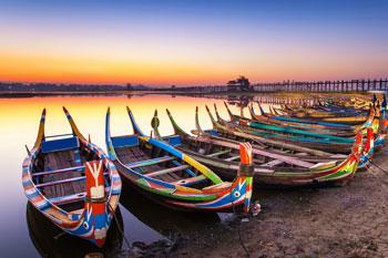
Mandalay
Mandalay was the last capital of the Konbaung Dynasty of Imperial Myanmar before the country was annexed by the British in 1886 A.D and exiled King Thibaw to Ratanagiri in India. It is also regarded as the cultural centre of the capital. Many artists and artisans make Mandalay their home town. The Mandalay Palace, built by King Mindon in 1859 A.D is one of the main attractions. Although most of the original buildings were destroyed during the 2nd World War many are now re-built. Other sites to see are the pagoda studded Mandalay Hill, the Maha Muni Buddha Image totally encrusted with gold and precious gemstones and the various workshops making such exquisite items as 100-looms silk textiles, the shwe chi hto or sequined curtains and cloths and tissue thin gold-leaves. Tanpawady is the place where tourist can still see the stone and wood sculptors at work. Here also brass items are cast using the ancient lost wax method. Across the Ayeyarwady river and about 45 minutes by boat is the world's biggest hanging bell at Mingun, the Mingun Bell and also the huge unfinished Mingun Pagoda.
NayPyiTaw (Capital City)
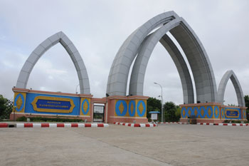
Nay Pyi Taw is the national capital of Myanmar, located in Pyinmana Township of Mandalay Division. The administrative capital of Myanmar was officially moved to a militarized Greenfield site two miles west of Pyinmana and Naypyidaw is approximately 320 kilometers north of Yangon.
Bagan(Nyaung Oo)
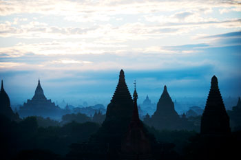
The seat of the 1st Myanmar Empire founded by King Anawrahta in mid 11 century A.D. Although legends say that there were supposed to be more than four hundred thousand pagodas at Bagan there are now approximately 2000 pagodas situated in an area about 16 miles square and under the care of the Archaeological Department. Many of the pagodas are in ruins but inside these structures beautiful wall paintings are still very much fresh as if painted only yesterday. The mightiest structure at Bagan is the Dhammayangyi stupa, the loftiest is the Thatbyinnyu and the most artistic and exquisite is the Ananda Temple. King Anawrahta, the founder of the Bagan Dynasty started construction of the Shwezigon Pagoda, one of the most venerated shrines in Bagan but finished by his son, King Kyansittha. Sunset at Bagan are best enjoyed by climbing up some of the pagoda platforms. Across the river is the TantkyiTaung Pagoda, where Lord Buddha once stood and prophesied the emergence of a mighty city on the opposite bank. Bagan was destroyed by Mongol invaders in the 12th century A.D.
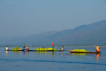
Heho-Inle Lake
Nestled between hazy blue mountains of Southern Shan State Lake Inle is world famous. It is a very large fresh water mountain lake and dotted on the lake are many villages. The people of the lake are called the Innthars and spending their whole life on the water had evolved a unique way to propel their canoes. They use their legs to grasp the oars and row. They also have so called floating gardens, stretches of moss and sediment salvaged from the lake and anchored to the bottom with bamboo poles, where they grow vegetables and flowers. The PhaungDaw Oo Pagoda houses 5 solid gold Buddha Images that are carried around the lake on a gilt barge pulled by hundreds of leg-rowers. This Festival normally begins from the 3rd day of the waxing moon of Thadingyut (October) to the 2nd day of the waning moon of Thadingyut but these dates can vary according to the lunar calendar. The town of NyaungShwe is the entrance to the lake and also was the ancient seat of the NyaungShweSawbwas for centuries.
Heho-TaungGyi
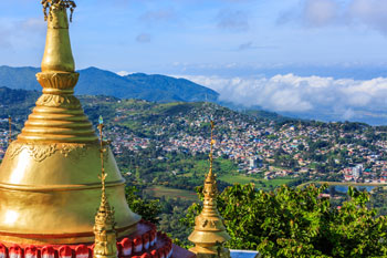
The capital of Southern Shan State, it is approximately 24 miles from Heho Airport. Many ethnic nationalities, especially the Pa Os and the Shans can be seen in their distinctive costumes in the marketplace. 29 miles from Taunggyi is the Kekku Pagoda Complex. It is a cluster of more than 2000 pagodas, mostly in ruins, on a small hill overlooking the Hopong Valley. Kekku is best visited during its festival time on the Full-Moon Day of Tabaung (March). The most interesting time to visit Taunggyi would be on the Full Moon Day of Tazaungmon (November) when the whole town comes alive with many festivals. The first is the Khatein Ceremony when holy robes are offered to the monks, the second is the Hot Air Balloon Festival and the third is the Parade of Lights. Situated at an elevation of approximately 4500 feet the weather is nice and cool and fresh.
Lashio
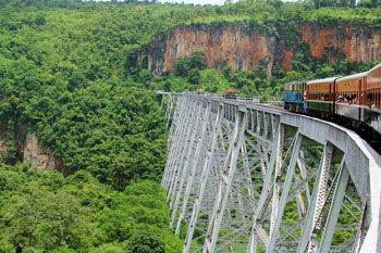
Lashio is the capital of northern Shan State. Lashio has a number of attractions, including the busy central market and night market, Quan Yin Temple and Mahamyatmuni Pagoda. The surrounding hills are also riddled with caves and hot springs.
Tachileik
Tachileik Known as the City of the Golden Triangle it is situated in the famous Golden Triangle, where the borders of Myanmar, Thailand and Laos meet. This is a very active and busy town being situated right on the border with Thailand and across Meisai in Thailand. Around Tachilek are many ethnic Akha and Lisu and villages. Wan Pong Jetty on the Mekong river is the port and situated opposite Laos on the other side of the river. Rides are possible on long-tailed boats zooming along the Mekong River also.
Kyaing Tong
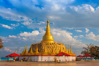
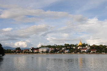
Previously spelled as Keng Tung it is the capital of Eastern Shan State. It was ruled by sawbwas or hereditary princes until the 1950s. The Palin Gate is the only evidence left of its former glory but there is still a compound called Tombs of the Sawbwas in town where the sawbwas' tombs can still be seen. Although the majority of the population, the Gon Shans are Buddhist there are also Christian churches in town. The main attraction in town is the market where hill tribes come down to trade in the morning wearing their traditional clothes and the Maha Muni Buddha Image in the centre of the town. The monasteries at Kyaing Tong are mostly in the Thai style. The Naung Tong Lake in the centre of the town and the lone solitary tree standing alone on the Lone Tree Hill are associated with the history of Kyaing Tong. Trekkers can visit Akha, Eng, Lahu, Palaung, Wa and other ethnic villages around the town.
Mawlamyine
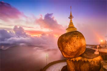
On Myanmar's southeastern coast, Mawlamyine is a delightful blend of history, culture, and natural beauty. The City's charm lies in its colonial architecture, where you'll discover elegant British-era buildings standing alongside the iconic Kyaikthanlan Pagoda, which offers breathtaking panoramic views. With a lively local culture influenced by the Mon people. Adding to its allure,the city gracefully embraces the banks of the Thanlwin River, gaining an extra touch of enchantment from its tranquil waters.
Myitkyina
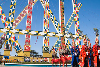
The capital of Kachin State and the first town on the Ayeyarwady river. The Myitsone or the Confluence, where the two rivers , the Maykha and the Maihka joins to form the Ayeyarwady River is 27 miles to the north a popular and picturesque picnic spot. Myitkyina is home to the Kachins, Rawangs and Lisus etc. The Kachins hold annual new year festivals called Manaw during January.
Dawei
The town was called Tavoy by the British and situated on the narrow coastal strip bordered by the Andaman Sea on the east and the Tanintharyi (Tenasserim) ranges in the west. Moung Ma Kan is a beach area not very far from town and very popular. This town is also a very busy seaport. Many Phuket-based tour operators come to visit this town on their own chartered boats.
Myeik
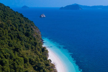
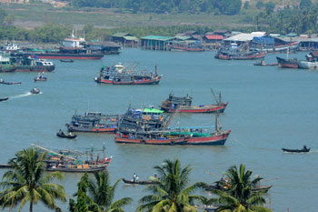
The British called it Mergui and the many island dotting the Andaman Sea as the Mergui Archipelago. Most of the island are uninhabited and pristine. Myeik was a busy seaport before and during the colonial times and many old colonial style house are still standing. Even now it is one of the busiest ports on the southern sea coast with many deep sea trawlers making it their home port. A species of bird called the swiftlets make their nests in the caves on the islands offshore and these are gathered for export as birdnests to many Asian countries.
Kaw Thaung
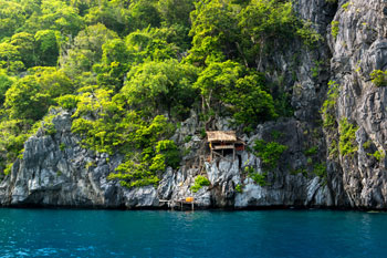
This southernmost town built on the southernmost point of the Myanmar mainland was named Victoria Point by the British to honour Queen Victoria. Now it has reverted to its original name of Kawthoung and the point is now BayintNaung Point. The Andaman Sea is dotted with many small islands and are good places for scuba diving, snorkeling, sea-kayaking and other water sports. About 6 hours sailing time away by a motorized schooner is the Lumpi Marine National Park. The Salon people who live among these islands are nomadic in nature. They live on their boats; the whole family and even the house pets and come in to shore only to escape the monsoon storms. These people earn their living by diving without any apparatuses up to incredible depths to bring up such treasures of the sea as pearls, sea cucumbers etc.
Thandwe (Nagpali)
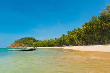
The beach area is Ngapali and the airport is at Thandwe( formerly called Sandoway by the British). This is one of the most popular of three beach areas on the western seaboard. Ngapali Beach stretches approximately 7 miles and many come here for the sun, fun and relaxation. Thandwe also has a long history. In ancient times it was known as Dvaravati and it is believed that when attacked by enemies the city would rise into the sky and stay suspended until the siege is over.
Sittwe
The British called it Akyab. It is situated on the western seaboard at the mouth of the Kaladan River and the capital of Rakhine (Rakhine) State. When Rakhine had its own kingdom Sittwe was just a small fisher village but when the British conquered parts of Myanmar after the 1st Anglo-Myanmar War Rakhine was ceded to them and Sittwe made into its capital. Sittwe is now a busy coastal city trading mostly in seafood products and the markets are colourful at best when the fishing boats arrive with their daily catch.
Bhamo
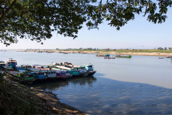
Bhamo located in northernmost part of Myanmar and it is a city of Kachin State. The city situated on the bank of Ayeyarwaddy and it stretches along the river bank in a series of villages approached through a narrow passage. Yunan Province, China lies within 65 Km from Bhamo which makes the city as one of the official border trading towns between China and Myanmar. This town was also an important station on Stilwell road which connects via Myitkyina with the Burma Road (1937-1939). With the restriction lifted, now foreigners can go around the city by cycling and get to know it better. One can enjoy not only the ruins of Shan palace but also visit villages and learn the lifestyle of locals. The population consists of Chinese, Shan and Kachin people.
Putao
When the British were here they called this place Fort Hertz in honour of Capt Hertz, the British Administrator of the region. Putao is located on the Hkamtilon Plain and the northernmost air terminal in the country. The predominant ethnic group are the Rawangs but there are also HkamtiShans and Lisus and Kachins. Ice-clad peaks are easily visible from Putao and Mt. Phungan, at above 3500 metres, is a favourite among people who wants to do some medium trekking. The Hkakaborazi National Park, named after Mt. Hkakaborazi, is a natural living museum of wild and exotic flora and fauna species. Mt. Hkakaborazi is 5881 metres above sea level and is the highest mountain in S.E Asia and snow and ice covered the whole year around. It is 30 days march distant from Putao and was conquered only very recently by two professional climbers; a Myanmar national and a Japanese. The Rawangs also celebrate the manaw like the Kachins. Trekking enthusiast can go to many villages around Putao, either on soft, medium and hard treks. Mountaineering, white-water rafting and canoeing are also possible for the adventurous.
Khamti
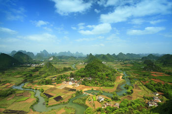
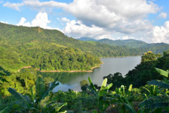
Khamti is a destination that so far receives few visitors located in the upper reaches of the Chindwin River. Now that travel restrictions on foreign visitors have been largely lifted, visitors might be interested to visit there. While accommodation and other amenities are still basic, the beauty of the surrounding area more than compensates, with the Naga towns of Lahe and Layshi the main attractions. Many visitors choose to fly to Khamti and then take a slow boat back down the river, passing through Homalin, Mawlaik and Kalewa.


